There are so many ways to ride The Dalles, but it’s good to have somewhere to start. The routes below are guaranteed bangers. They all have pavement and dirt, to varying degrees, but you could get away with a road bike on the easier routes. You can download the routes from Ride With GPS from the maps below and either send the file to your GPS device or, if you’re a RWGPS premium member, download the route to your phone for offline navigation.
REALLY HARD
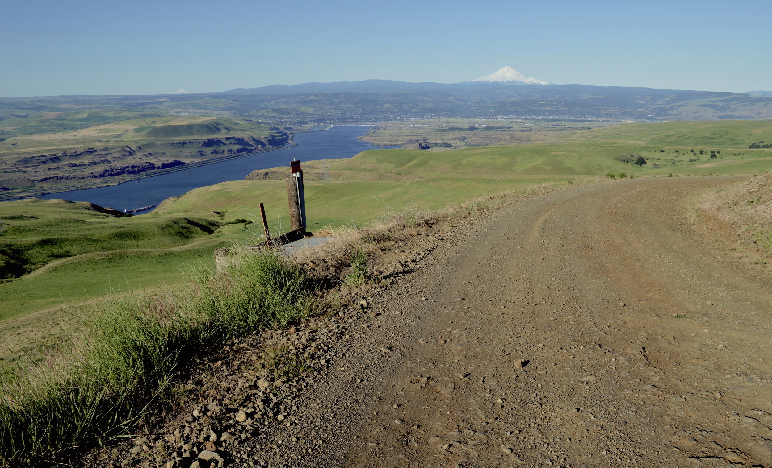
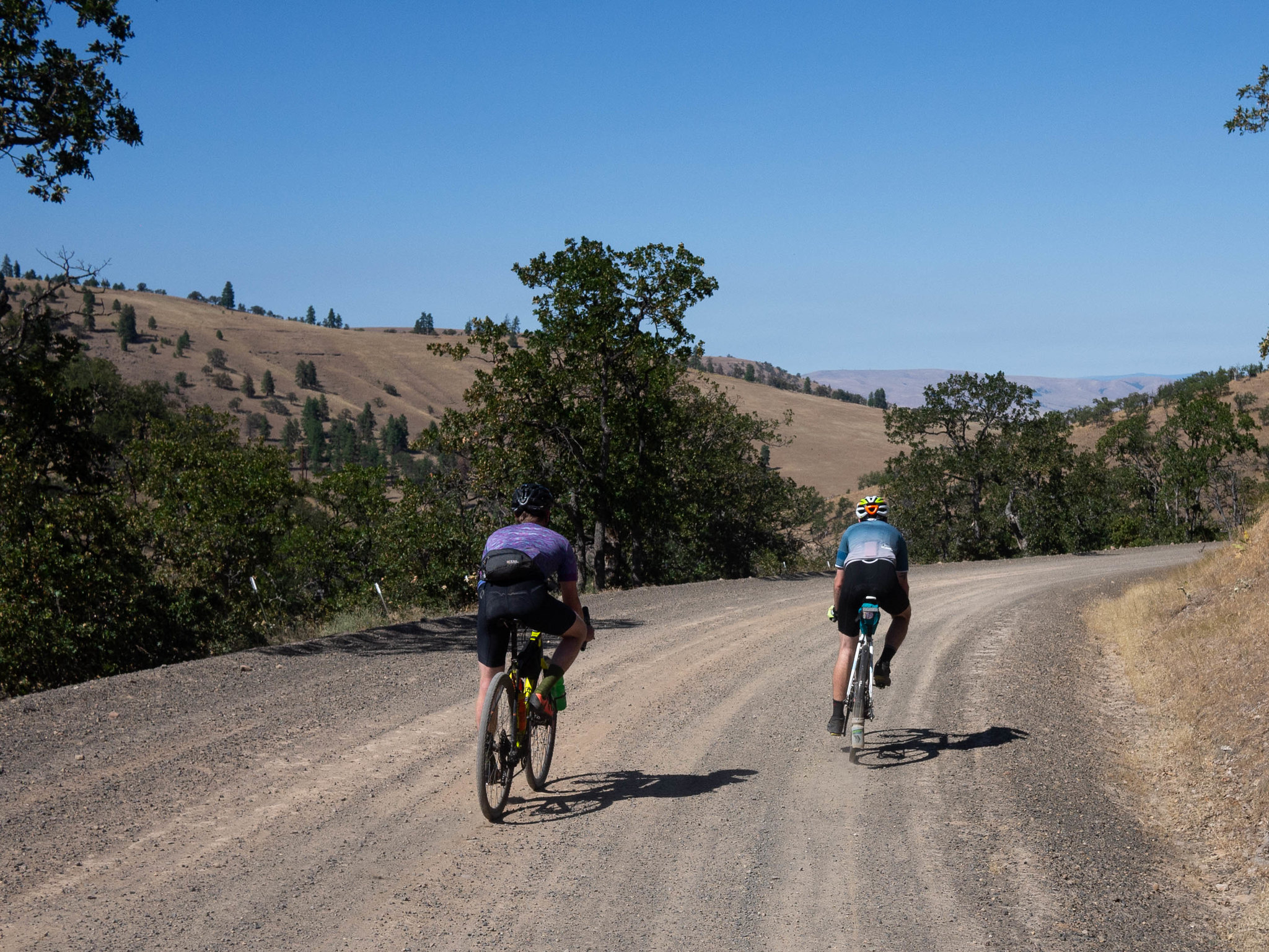
Freebridge
74.2 mi • 6449 ft • Really Hard • Paved + Gravel + Primitive Roads
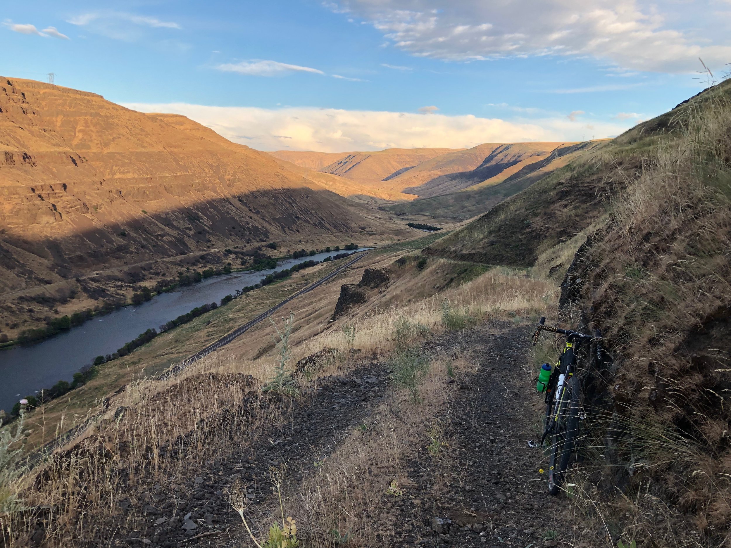
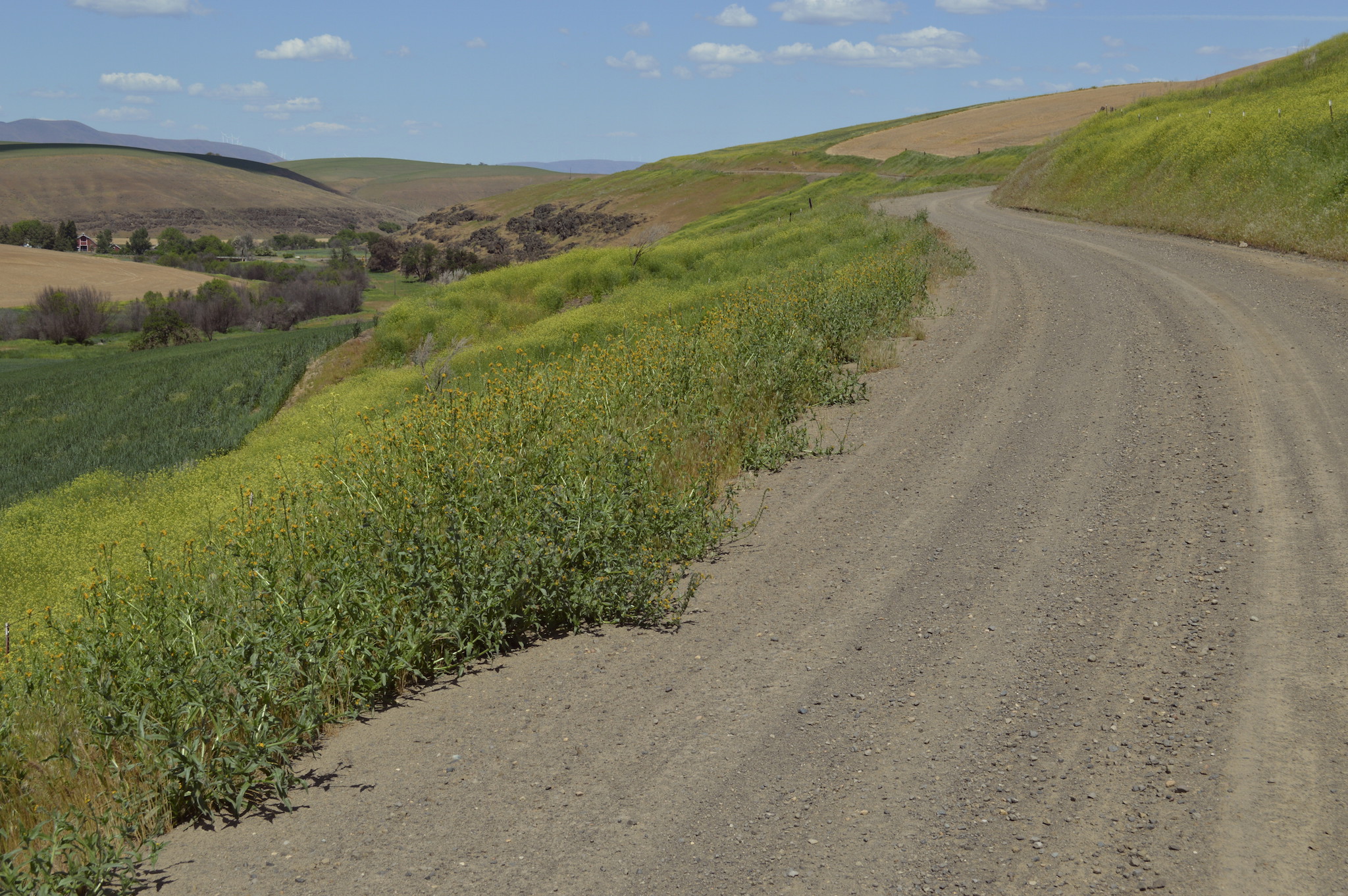
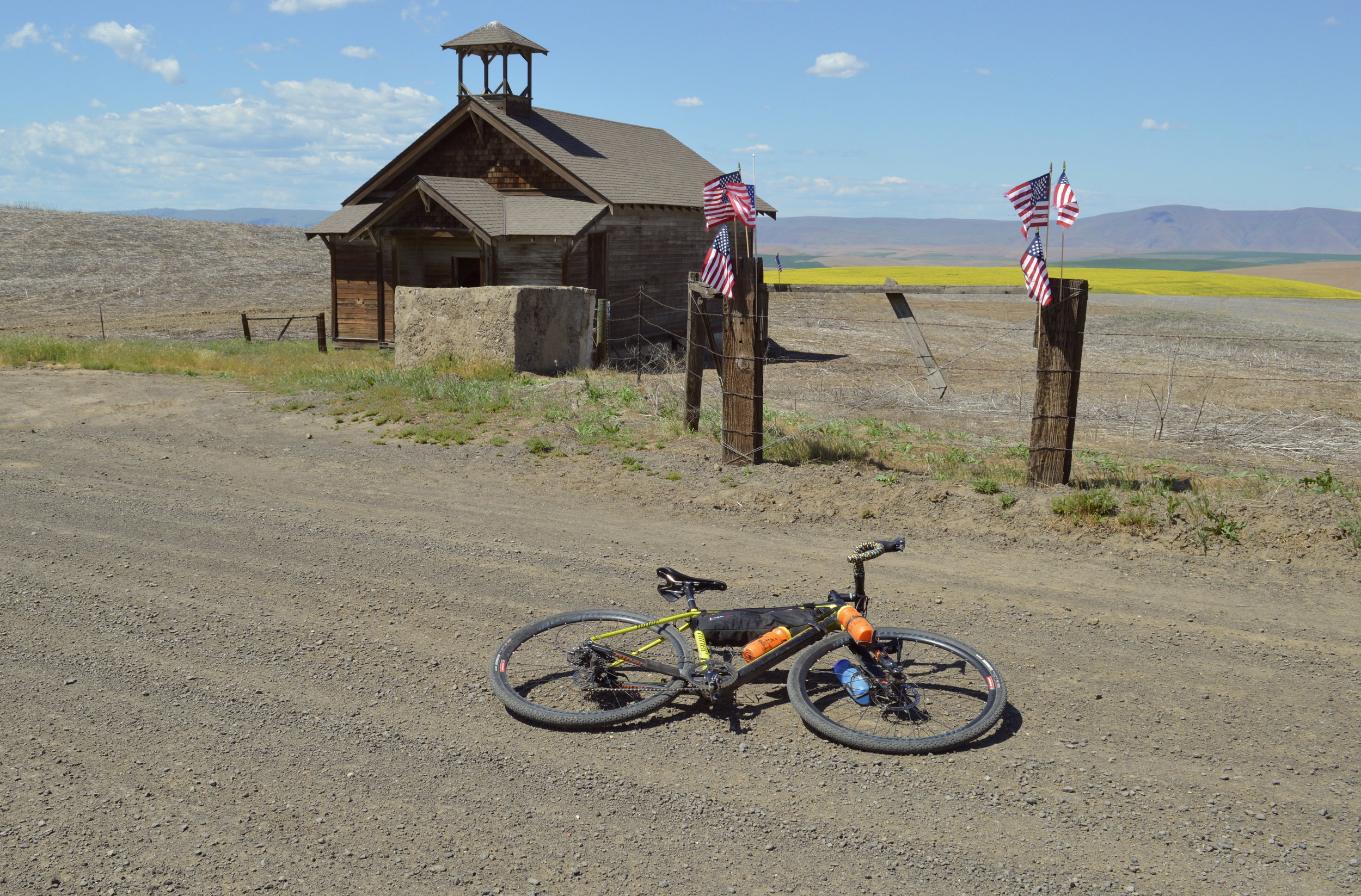
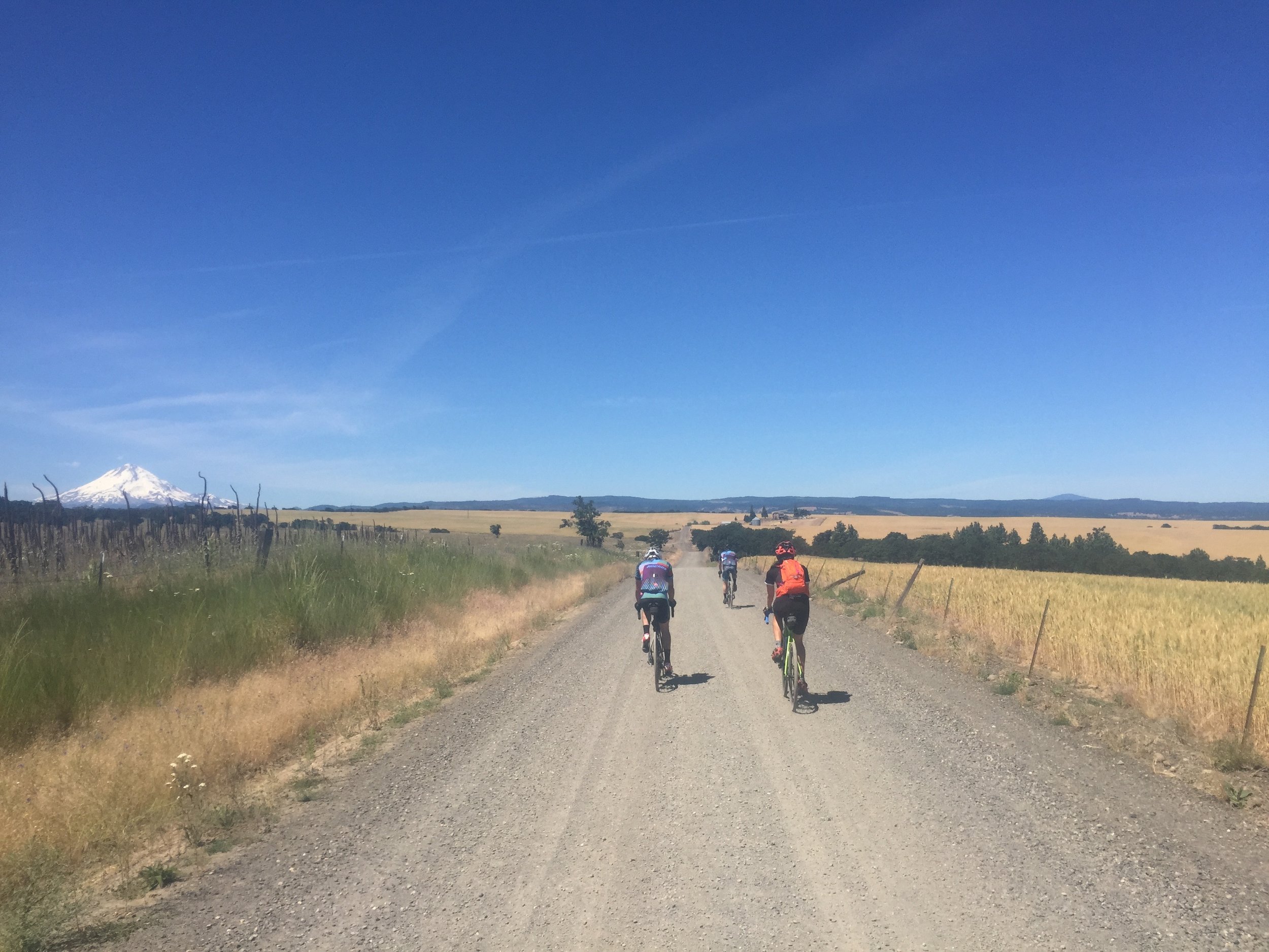
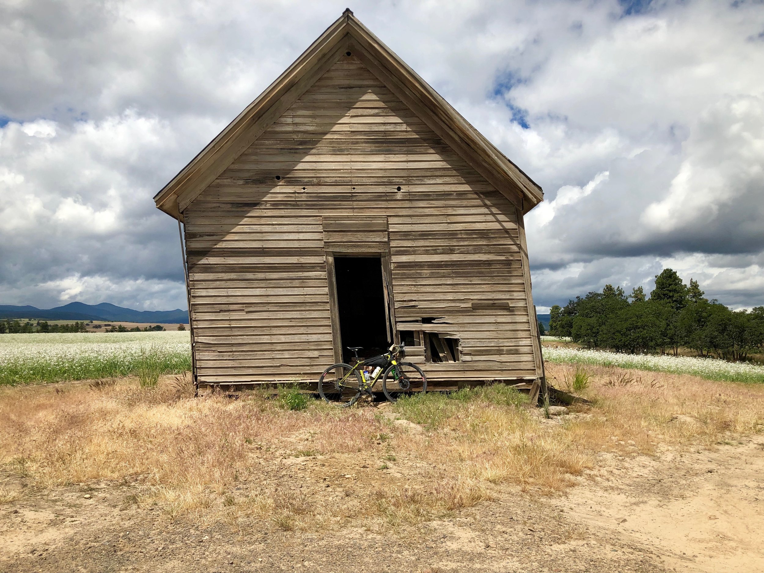
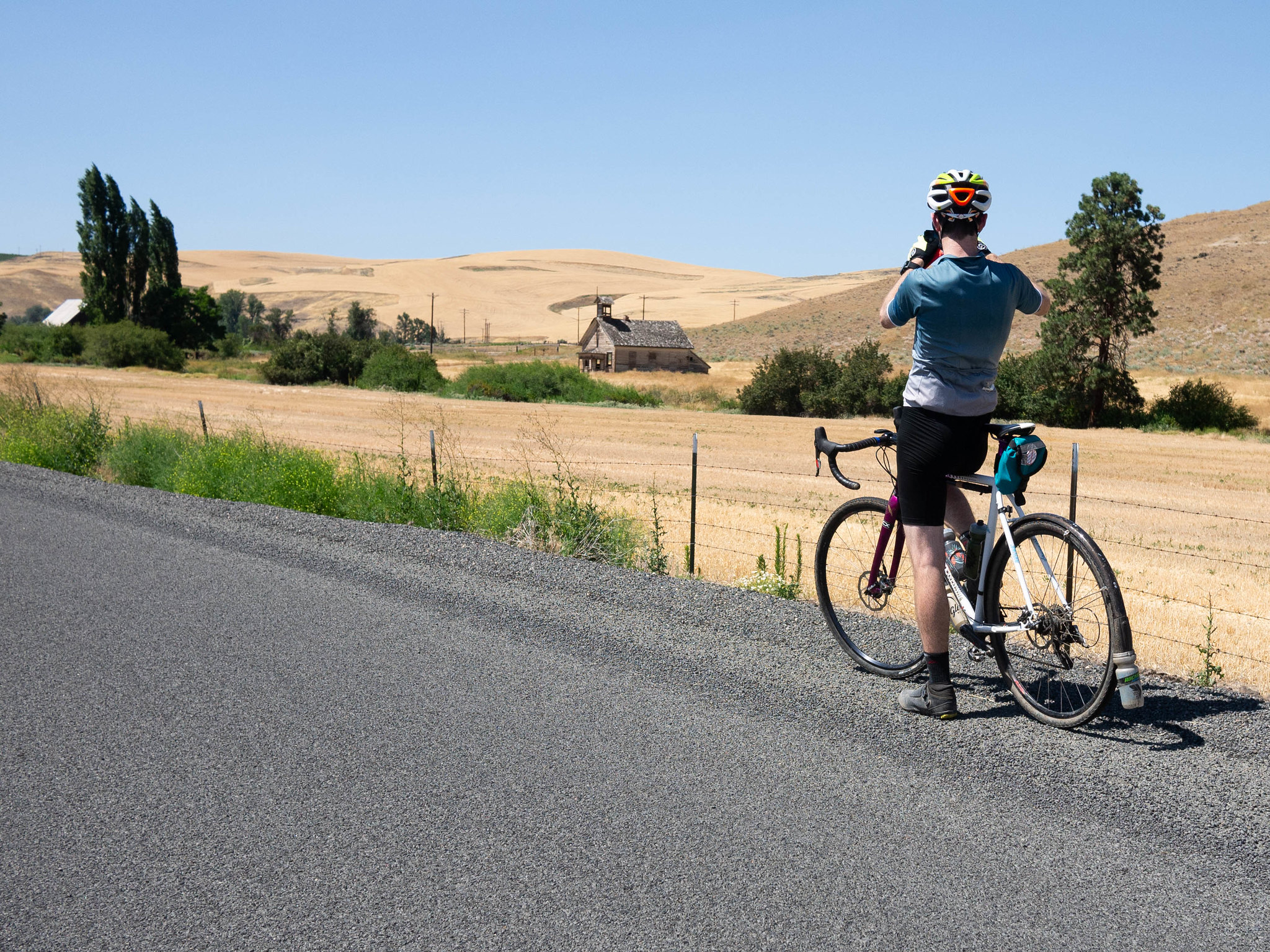
This route takes you out to the rolling hills Southeast of town, along a series of mostly-paved climbs up Eightmile and Long Hollow to its high point on Center Ridge, where on a clear day you’ll see as many as five volcanoes. The old abandoned schoolhouse on your left marks the beginning of the wagon road descent down the incredible Hastings Ridge. Then it’s a whole bunch of up-downing across a series of choice palouse hills over to Freebridge Road, where you’ll take an epic detour into and out of the Deschutes River box canyon — before a relatively straightforward cruise back to town.
Note that most of this route is reasonable, but Freebridge is extremely difficult and totally unreasonable. You can skip the descent into the canyon if you’d rather not ride this extremely steep and rocky road.
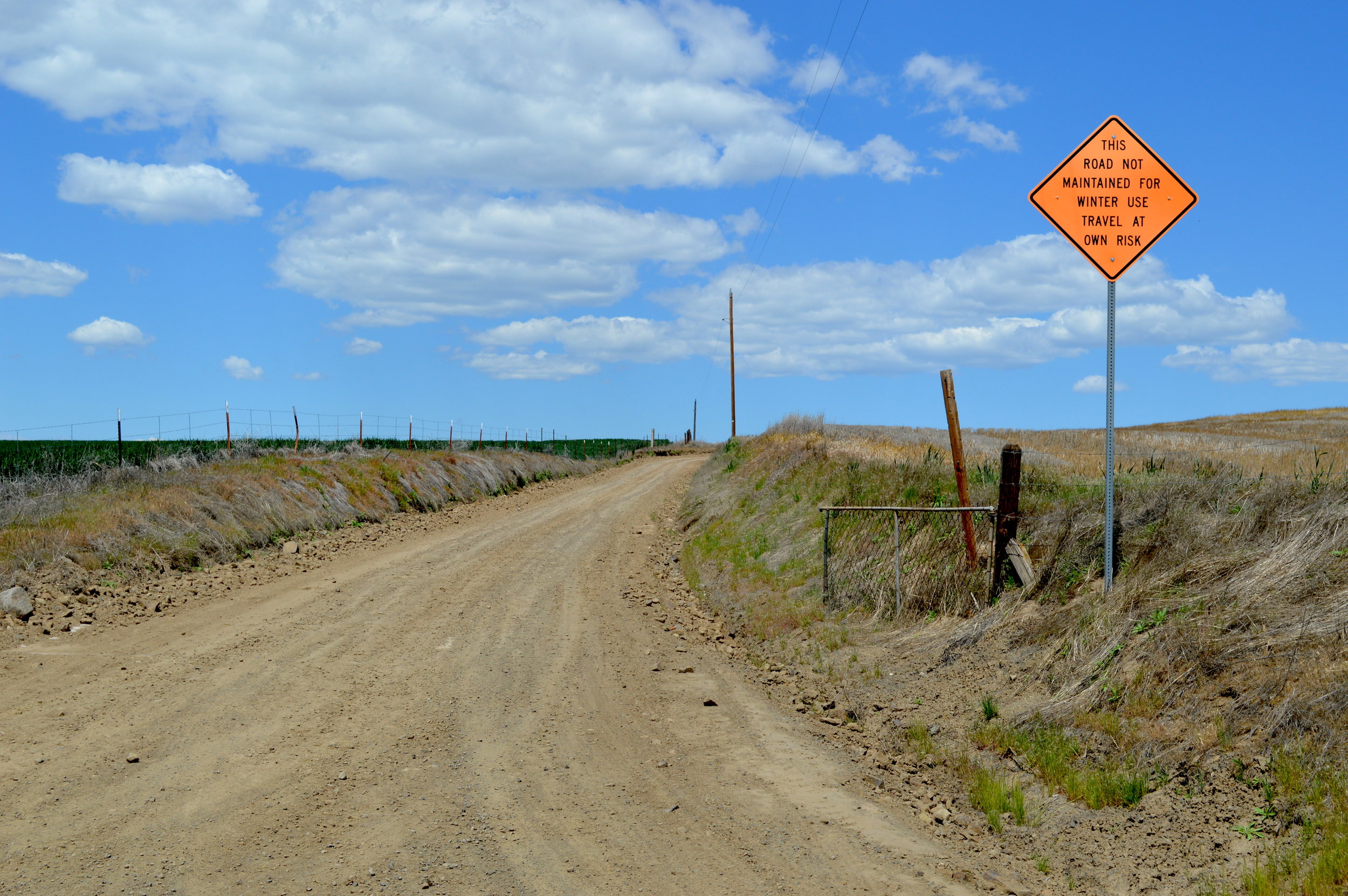
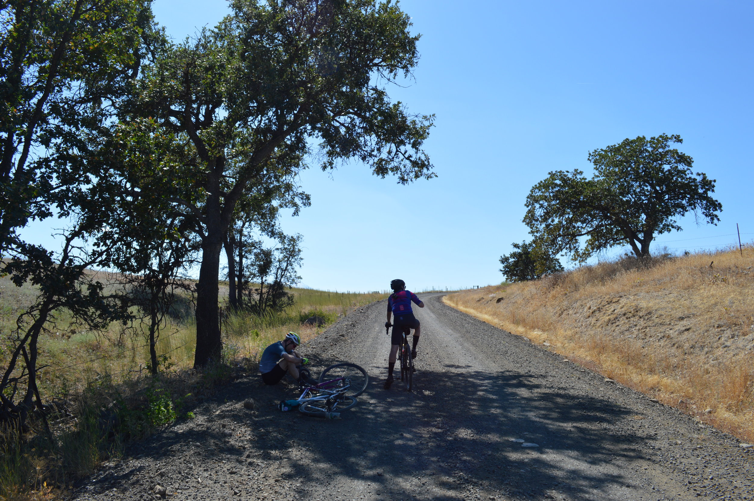
Hastings Ridge, Mason, Freebridge and Kloan are minimally maintained and can be muddy to impassable in the winter
MEDIUM HARD
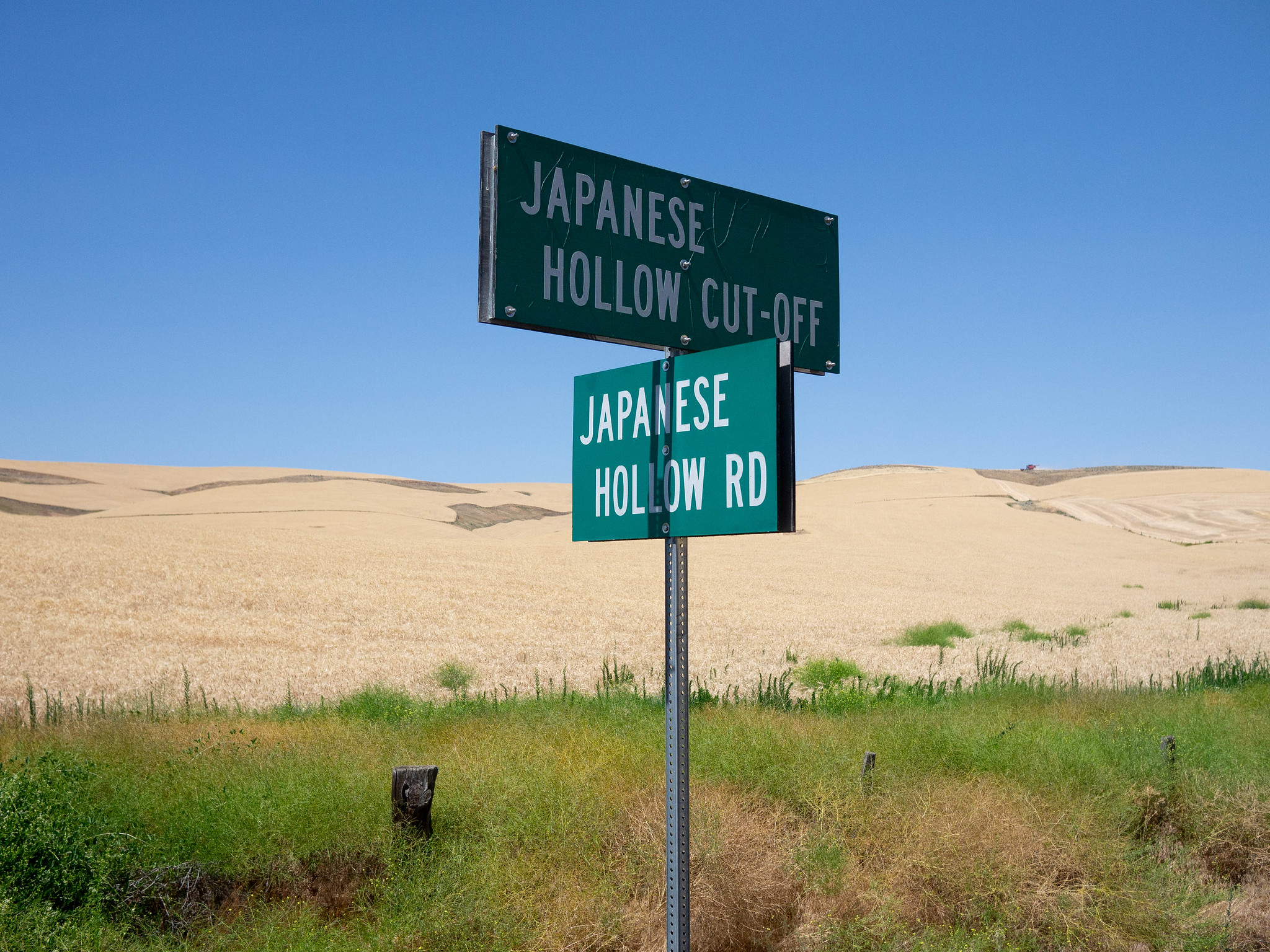
Japanese Hollow
56 mi • 5466 ft • Medium-Hard • Gravel + Paved

Designed and organized by OMTM, the Japanese Hollow route strings together a bunch of the best roads up above the Dalles, and even touches the corner of Mount Hood National Forest.
The route climbs through the orchards up Skyline Road, all the way to the top, then it keeps climbing along the rustic Upper Fivemile until the tippy-top of Pleasant Ridge Road. The descent is one of the greatest downhill gravel routes in existence, with a brief interlude to climb back up along the steep-but-beautiful Japanese Hollow Road.
Check out OMTM’s much more thorough description of this route here >>>
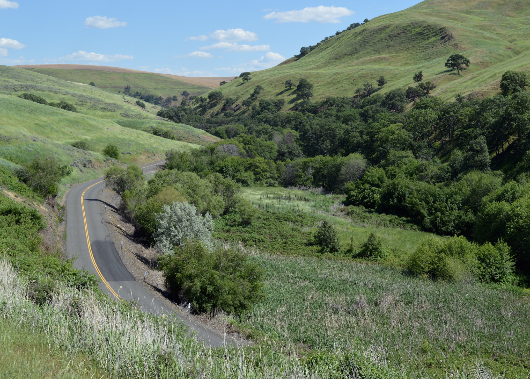
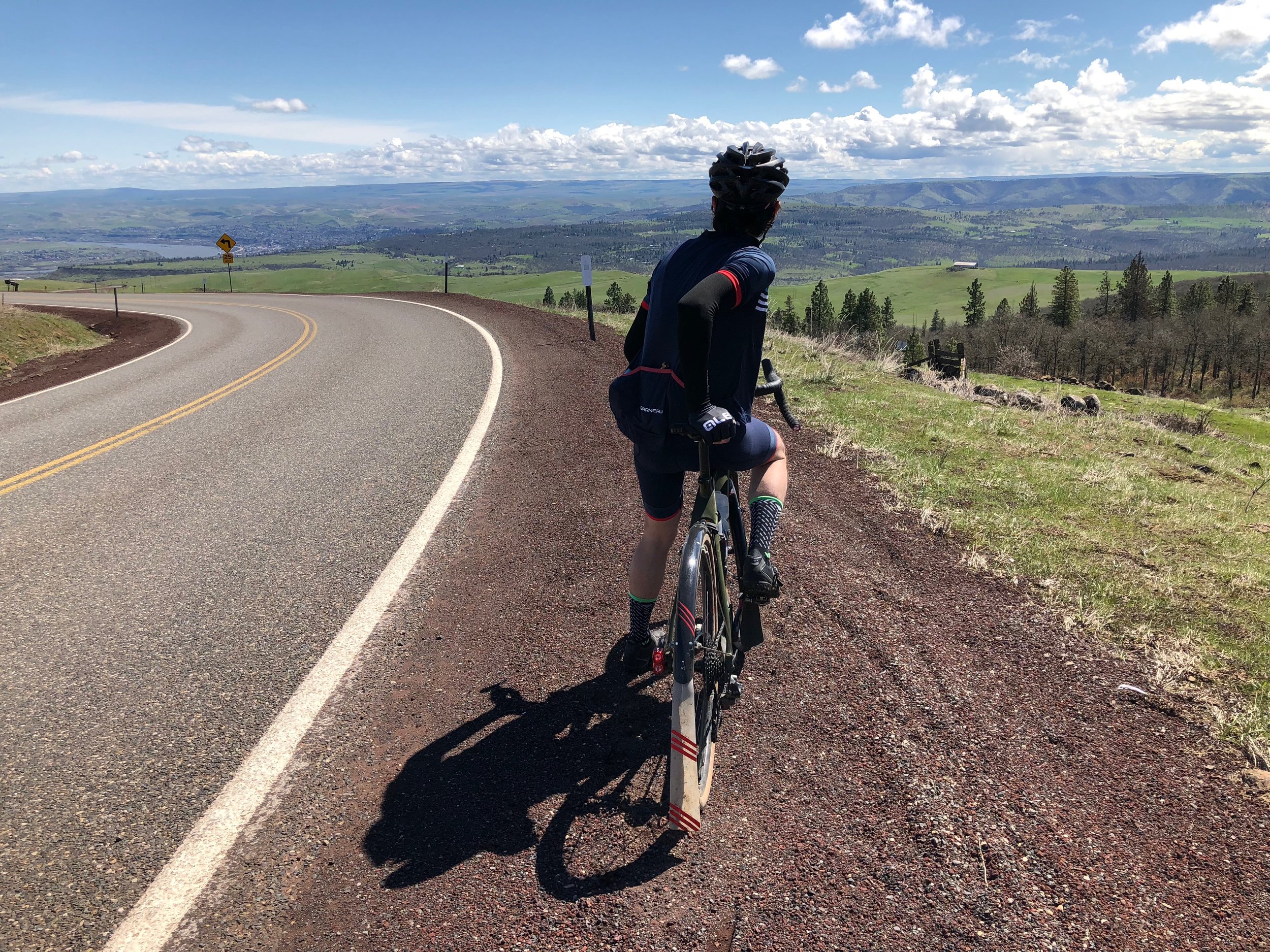
The Dalles 60
65.3 mi • 4842 ft • Medium-Hard • Gravel & Paved
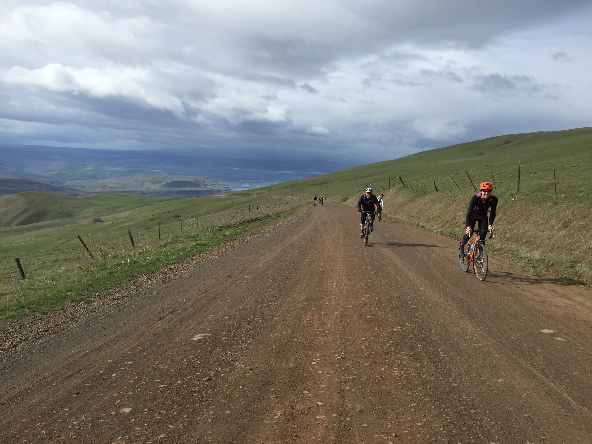
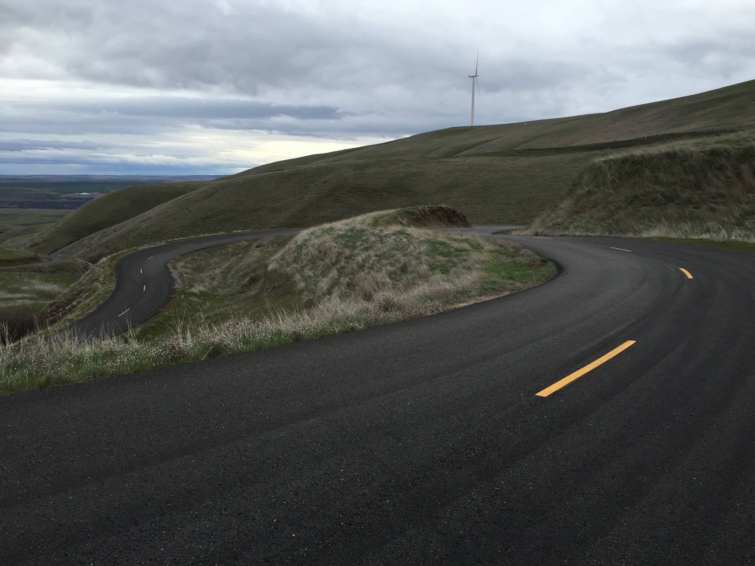
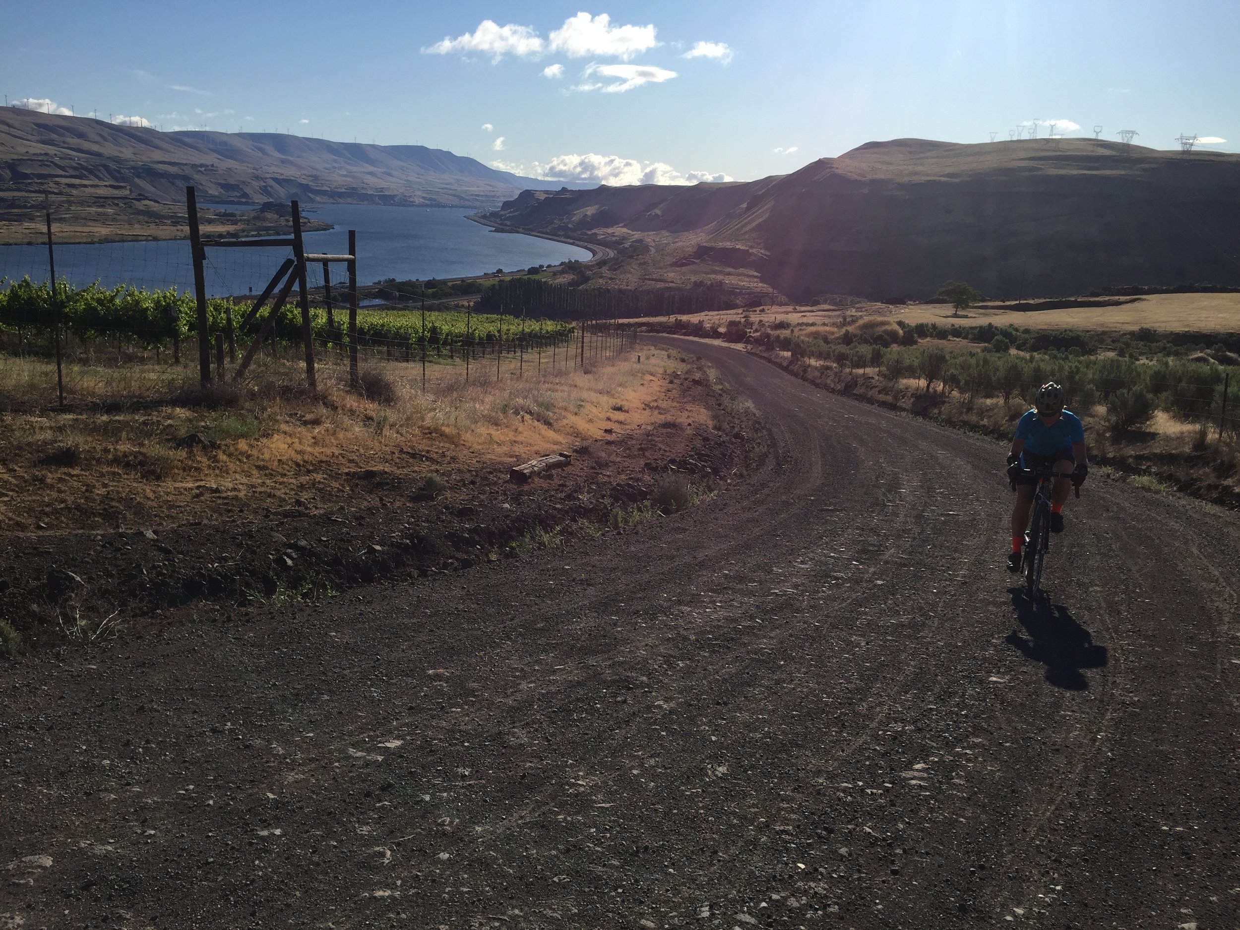

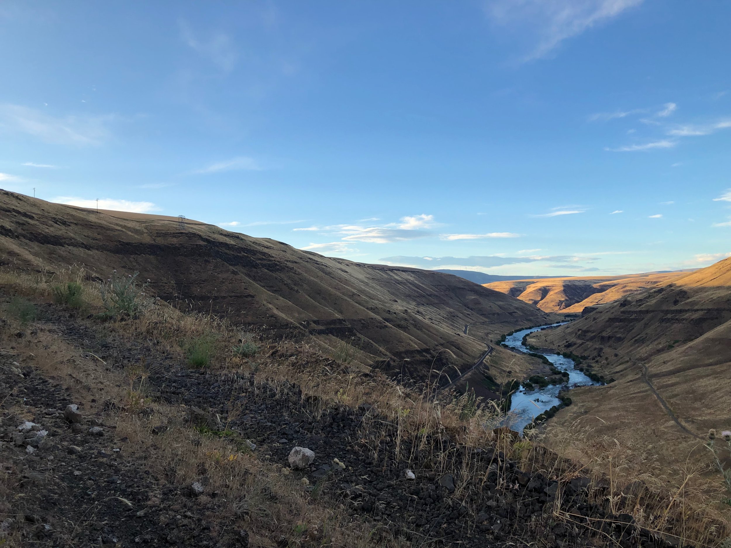
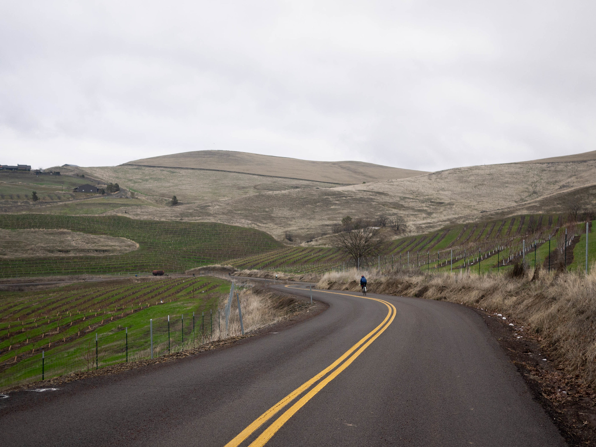
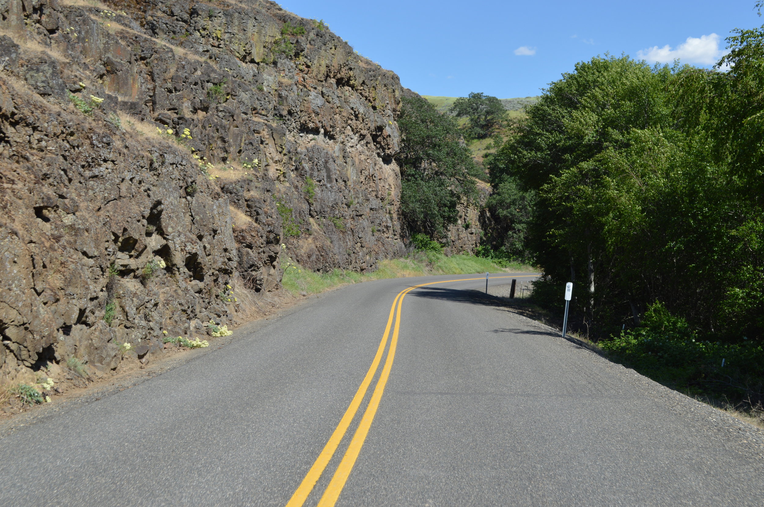
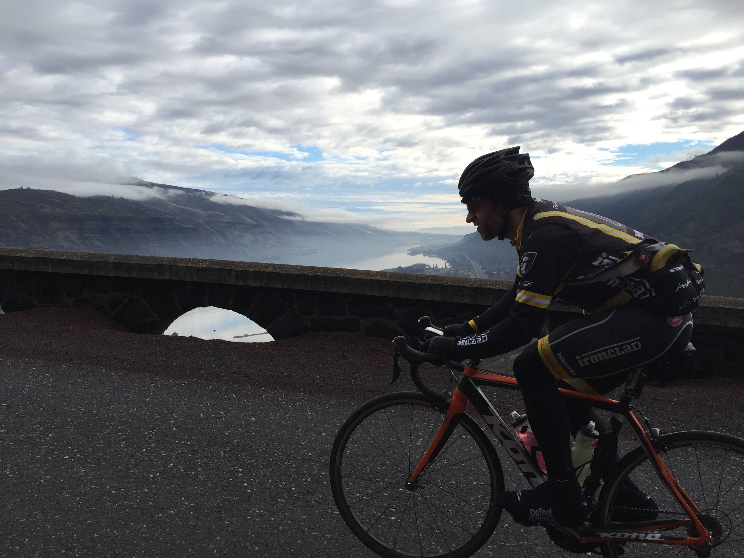
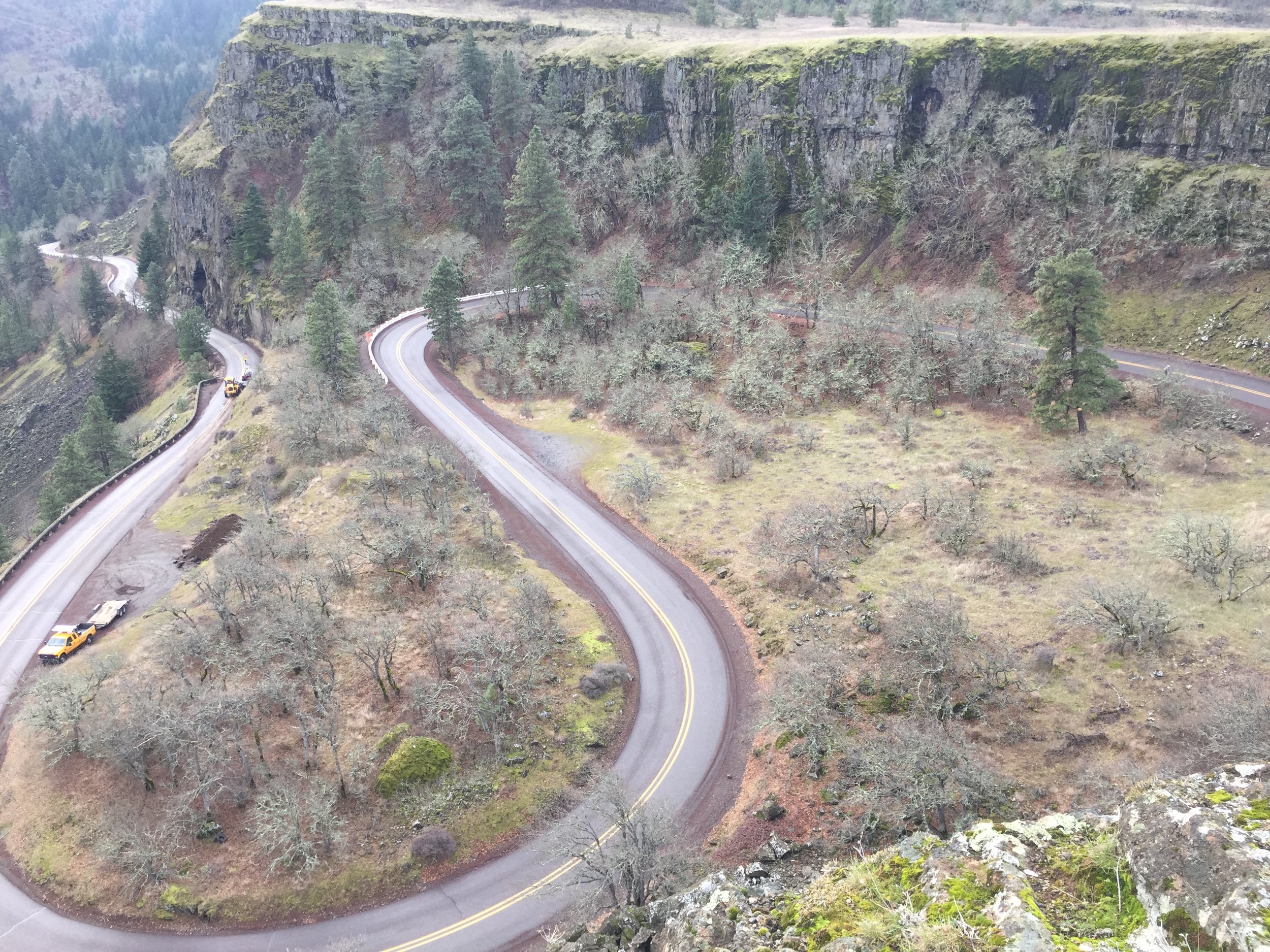
This is the classic Velodirt ride that started my love of riding in the Dalles. It strings together three of the most all-time classic Dalles roads. You’ll follow the Columbia River from high above on the spectacular Dalles Mountain Road, before dropping down the impossible-to-believe Maryhill Loops Road, then cross over the Columbia to the dramatic Old Moody Road and on its rocky shelf above the Gorge.
Oh yeah, did I mention the full-sized concrete replica of Stonehenge? That’s on the route too.
Note that the “old way” went through some private property to get to the top of the Loops. I recommend you stay on the highway and do Maryhill Loops from the bottom. This technically makes the route 65 miles, but we’ll keep calling it “The Dalles 60.”
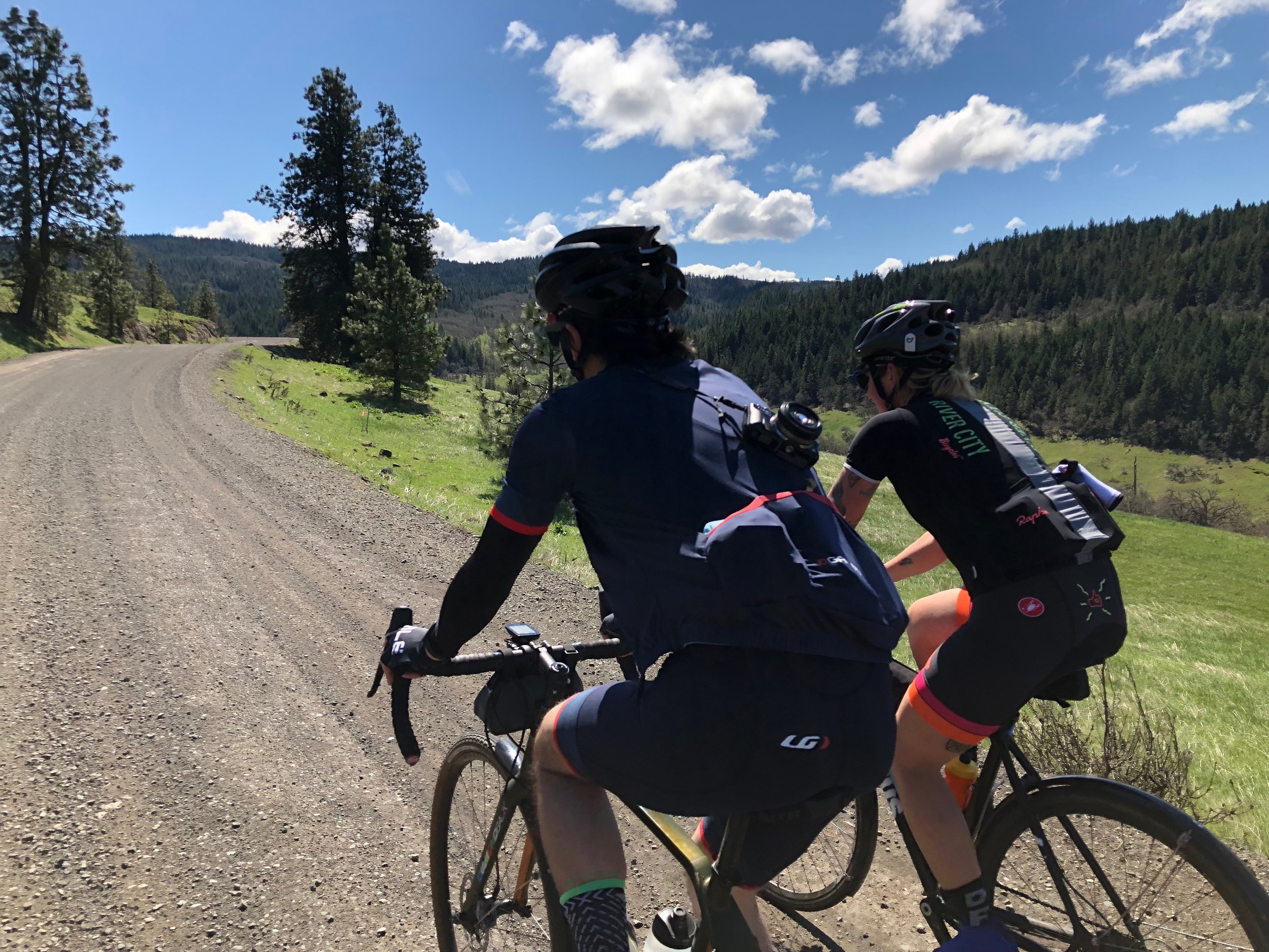
MEDIUM-MEDIUM
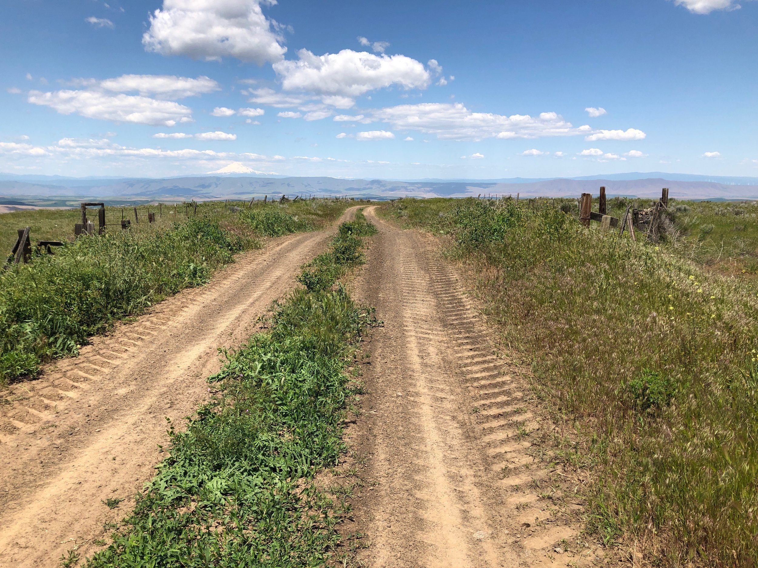
Halfway Pleasant
33.7 mi • 2650 ft • Medium-Medium • Paved & Gravel

If you want to descend the phenomenal second half of Pleasant Ridge Road (also the end of OMTM’s Japanese Hollow route) but don’t have it in you to climb all the way to Mount Hood National Forest, Halfway Pleasant is your route. It’s a relatively easy climb to the top along Eightmile creek, until the road pitches for the last couple miles of Japanese Hollow. I recently had to walk this section on a scorching, midsummer day.
You’ll get one of the best gravel descents in Oregon as your reward, as you blast down the high-speed Pleasant Ridge drop to 5 Mile. Don’t miss the lefthand turn for your next section of Pleasant Ridge — this time up a graded dirt road to the top of another ridge (which one is THE “Pleasant Ridge?”), at which point you’re sitting at the top of yet another phenomenal descent, this one paved.
One more little rise to get out of Three Mile, and you’re coasting to The Dalles Burgerville.
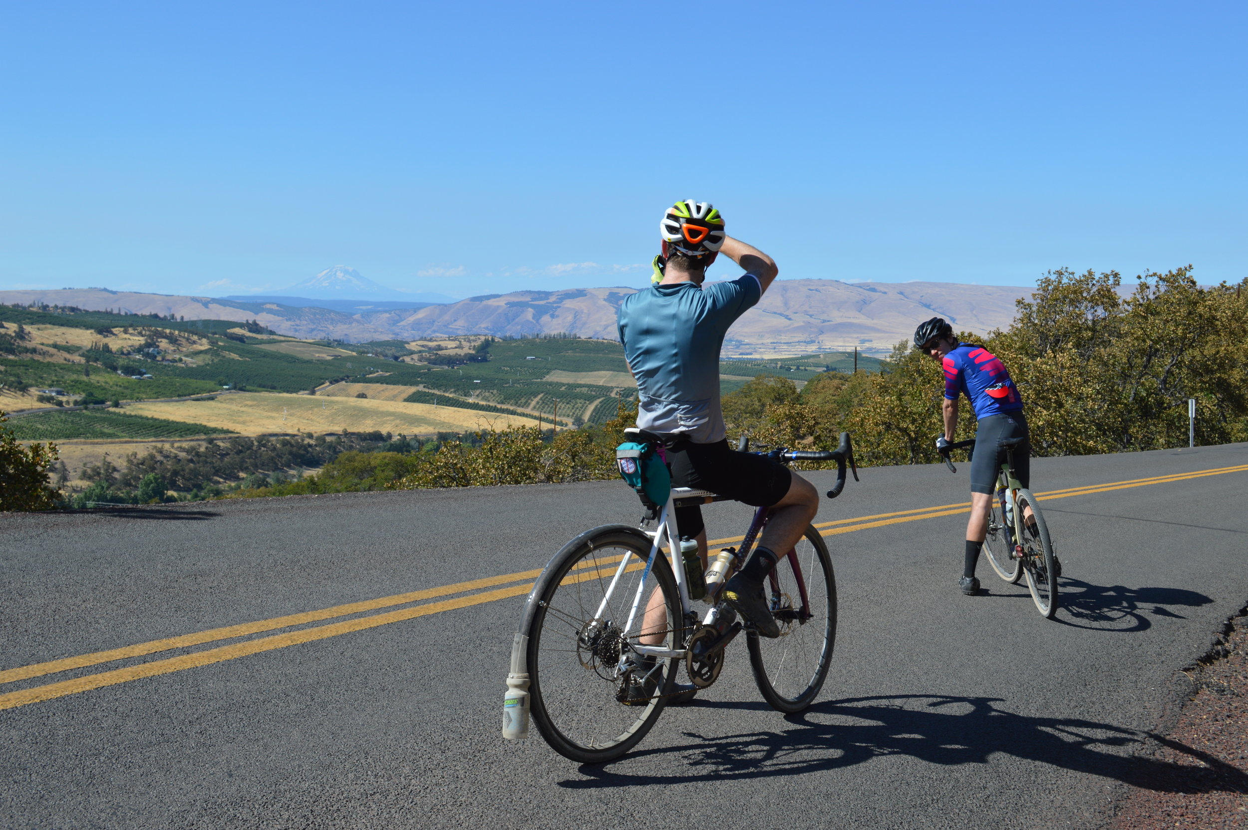
Seven Mile Hill
41.6 mi • 3845 ft • MEdium-Medium • Paved & Gravel
Everyone comes to the Dalles a different way. This route comes to the Dalles from Mosier.
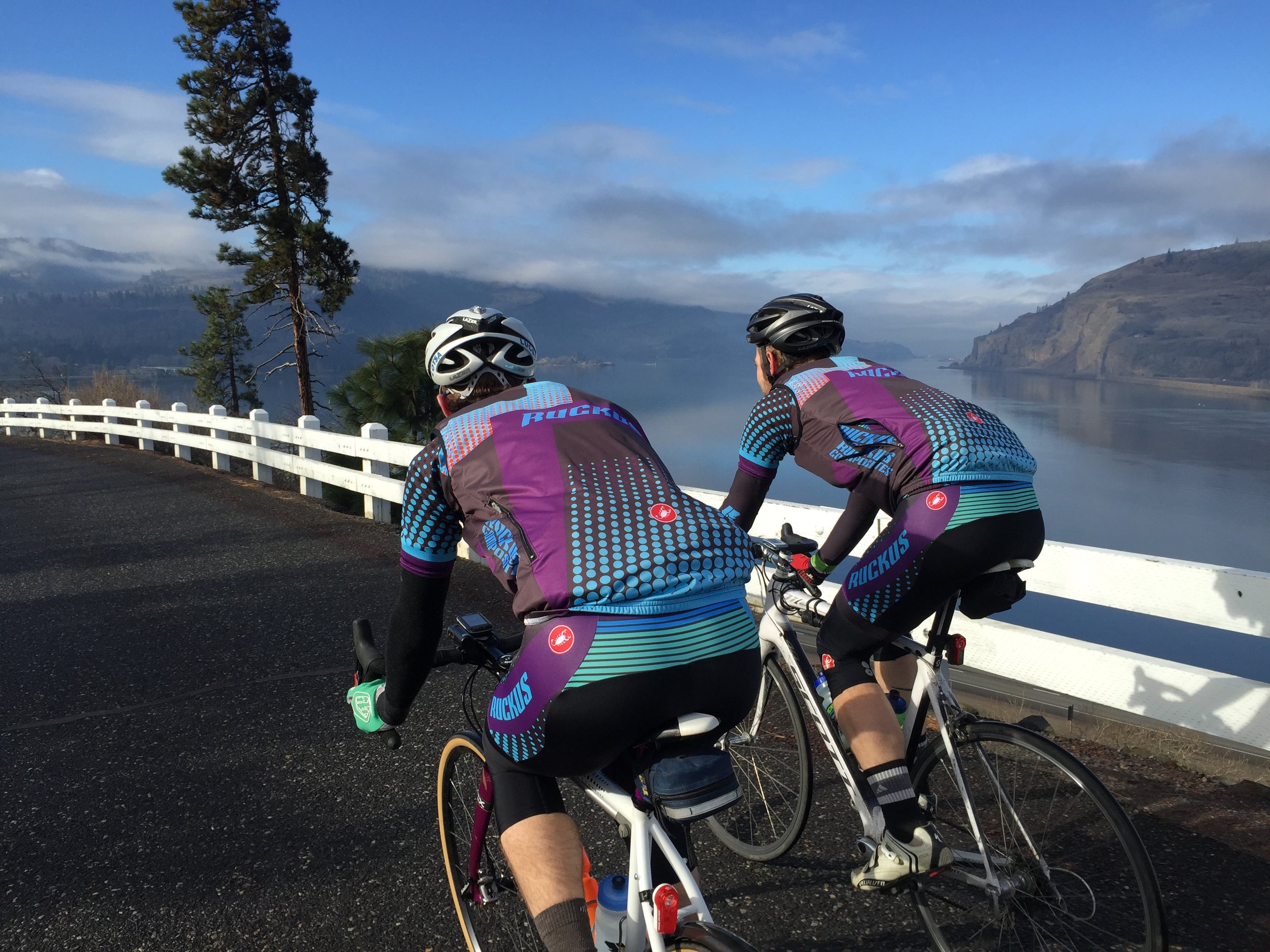
Start off with the long but gradual Dry Creek Road climb — the only gravel on the route — before the amazing view and descent down Seven Mile Hill. I don’t know if it’s the speed of the descent or the angle of the sun, but I always finish Seven Mile Hill glowing. You’re close to the Dalles at the bottom, but you’ll be glad you climbed around the side for a proper entrance down Cherry Heights amongst the Dalles’ trademark orchards. The way back is roadie 101: the Rowena Loops. Be sure to snag that iconic snapshot from the viewpoint.